SHARRYLAND
12492


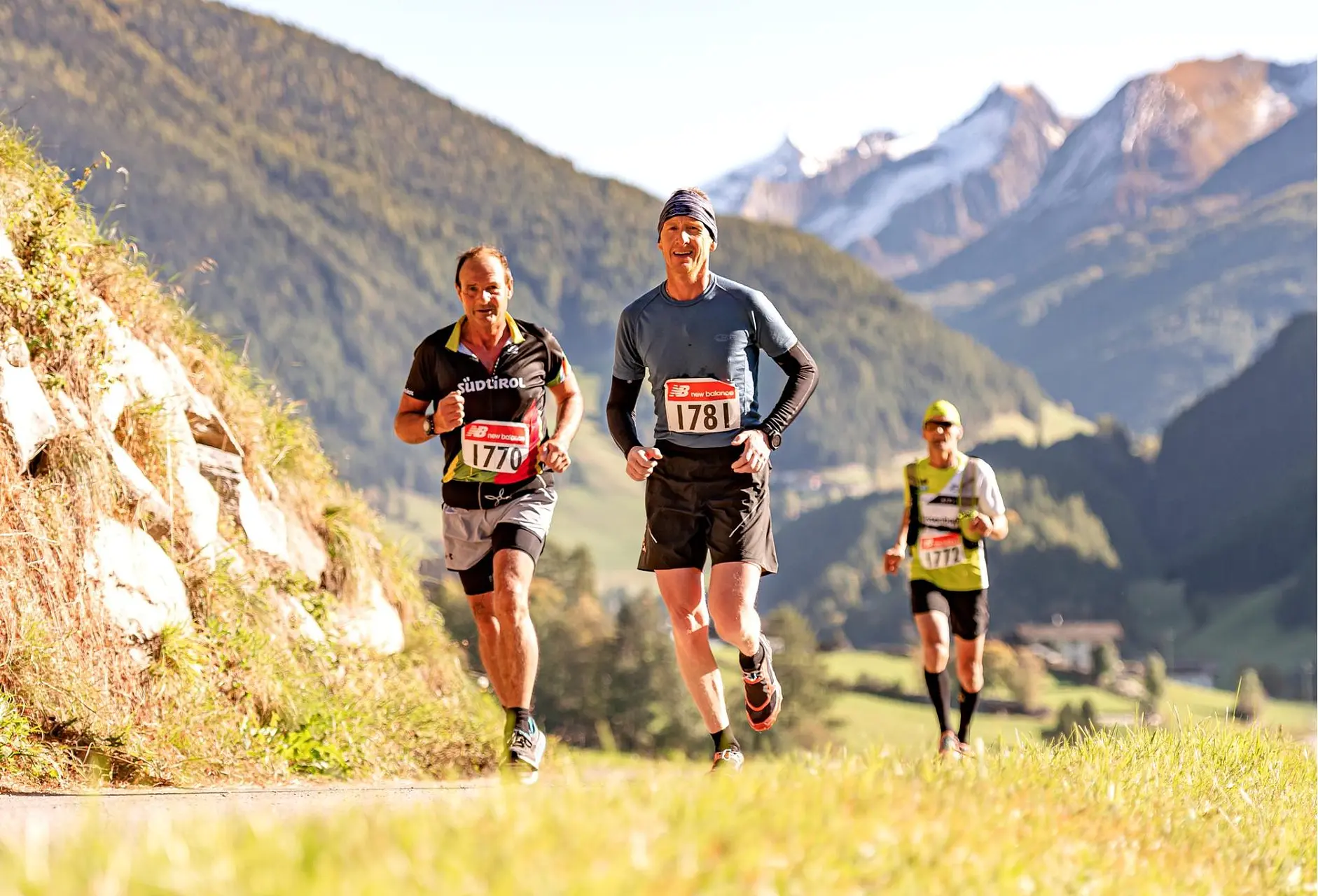
Aurina Valley Sunnsatlauf Run
A run along the sunniest part of the Aurina Valley
In a nutshell
The run: Course length: 22 km Elevation meters: 1,000 Profile: see Outdooractive map below GPX of the run: see Outdooractive map below
For a fee
DA
Fri 10 October 2025
A
Sat 11 October 2025
When you clicking on the button, you might be directed to an external site.
For a fee
DA
Fri 10 October 2025
A
Sat 11 October 2025
When you clicking on the button, you might be directed to an external site.
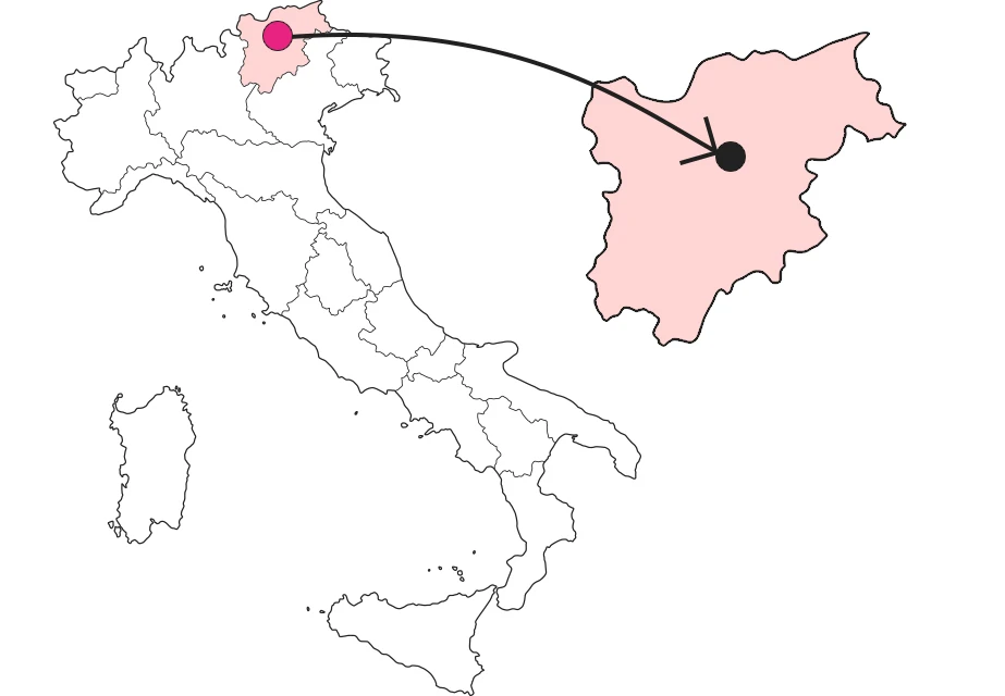
Where is

Info


